New York City and the Northeast will see temperatures surge this week as another wave of sultry weather shifts across the eastern US and southern Canada.
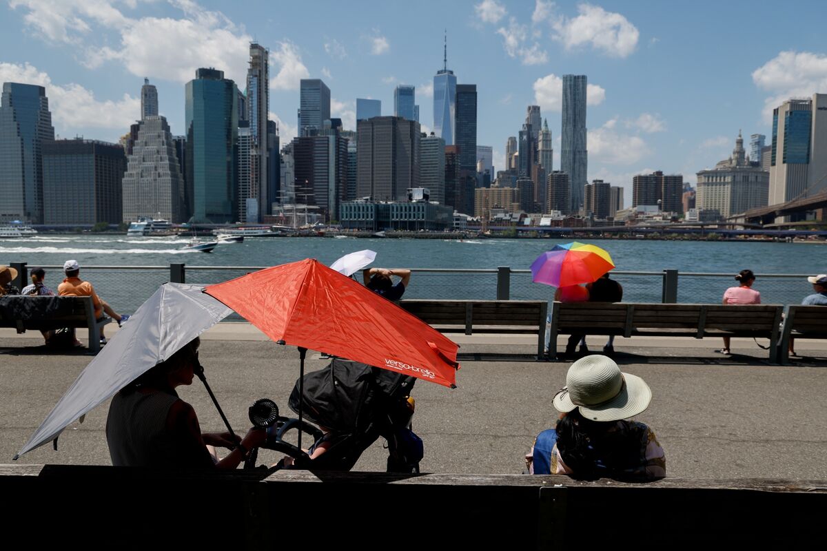
Pedestrians hold umbrellas to shield themselves from the sun at Brooklyn Bridge Park during high temperatures in the Brooklyn borough of New York on July 3.
Heat is spreading across the western US, with the most intense conditions concentrated in the central and northern Rocky Mountains and the northern Great Plains. Heat advisories, warnings and watches stretch from Nevada to northeastern Minnesota, according to the National Weather Service.
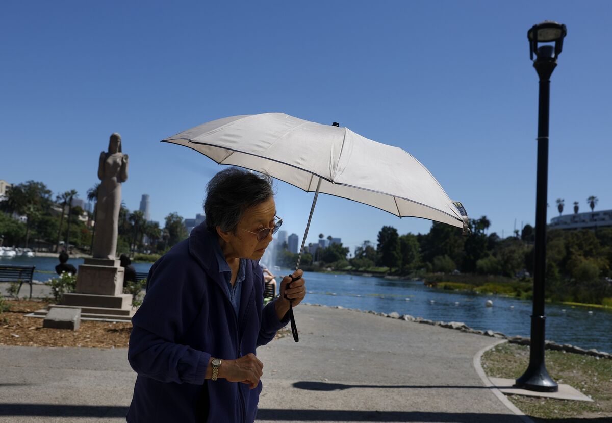
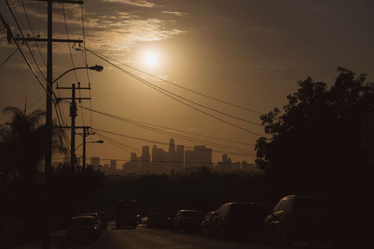
A pedestrian uses an umbrella to shield herself from the sun while walking at Echo Park in Los Angeles on July 8.
The weather-roiling El Niño that emerged across the Pacific last month has continued to build and will likely be one of the strongest in more than 75 years, the US Climate Prediction Center said.
El Niño events can trigger floods, droughts and cold snaps.
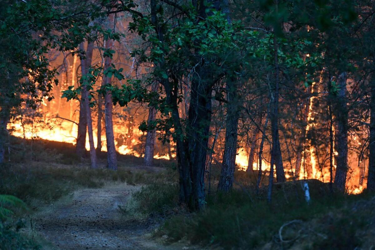
Strong winds and dry thunderstorms are raising the risk of fast-moving wildfires across much of the US West, where forecasters warned conditions will favor new ignitions and rapid fire spread through Thursday.
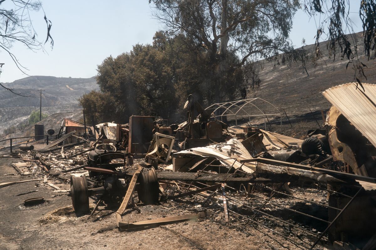
A destroyed building during the Canyon Fire in Hasley Canyon, California, US, on Friday, Aug. 8, 2025.
Heavy rain will trigger flood watches from Ohio to southeastern Massachusetts, including New York City, and as far south as North Carolina, according to the National Weather Service.
Pedestrians carry umbrellas along 5th Avenue in New York on June 22. Photographer: Spencer Platt/Getty Images
New York City will have a cooler, soggier Sunday now that the massive heat dome across the US East that taxed power grids and snarled transit has started to crack, while lingering high temperatures in Washington and across the Mid-Atlantic triggered air quality warnings.
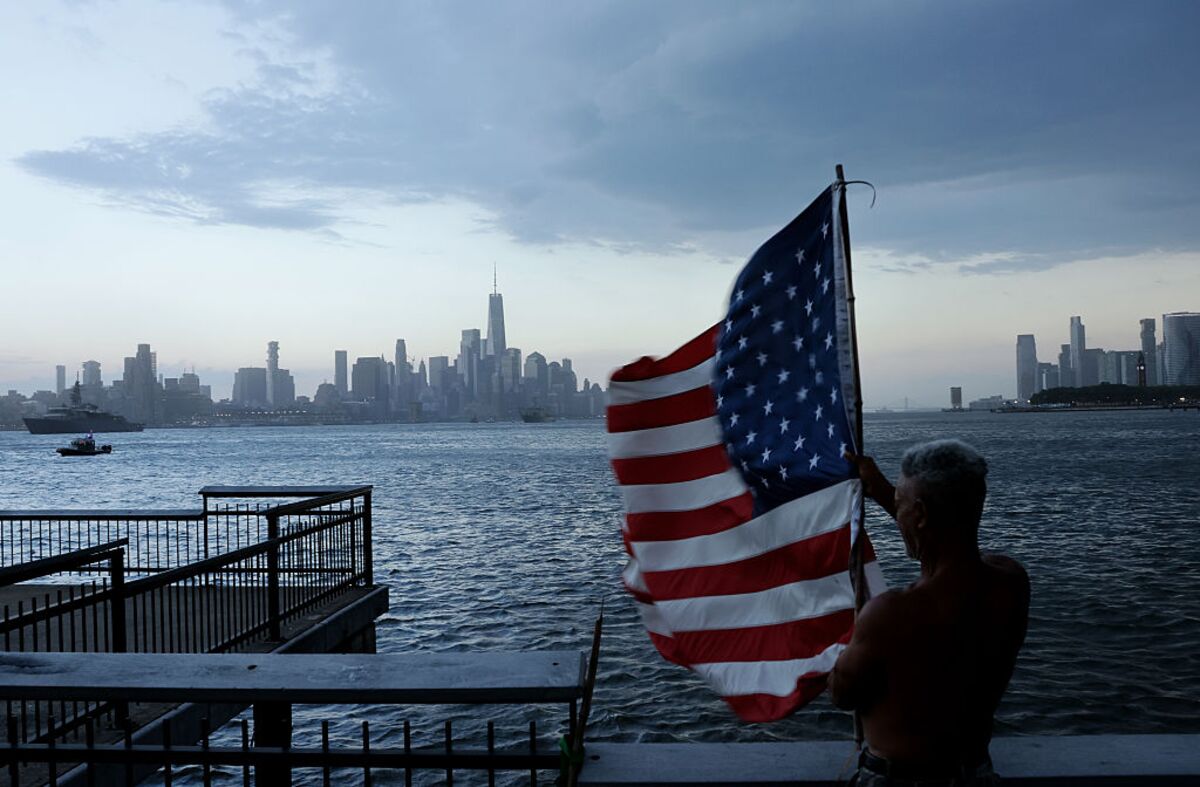
HOBOKEN, NJ - JULY 3: A thunderstorm moves across the Hudson River into lower Manhattan in New York City as a man holds an American flag in the wind on a pier in the Hudson River on July 03, 2026, in Hoboken, New Jersey. (Photo by Gary Hershorn/Getty Images)
A dangerous heat wave is expected to engulf the eastern US in the coming days, threatening power grids just as a critical slate of World Cup football matches is scheduled heading into the Fourth of July weekend.
FIFA World Cup signage at the Empire State Building Observatory in New York on June 29. Photographer: Michael Nagle/Bloomberg
Overnight weather models point to a warmer-than-expected end of June and beginning of July, boosting cooling demand, according to the Commodity Weather Group LLC.
New York City is forecast to reach 95F next Thursday. Photographer: John Taggart/Bloomberg
The Great Lakes and large parts of Ontario and Quebec are forecast to see average temperatures as much as 8F (4C) degrees above normal through June 29 to July 3, according to Commodity Weather Group.
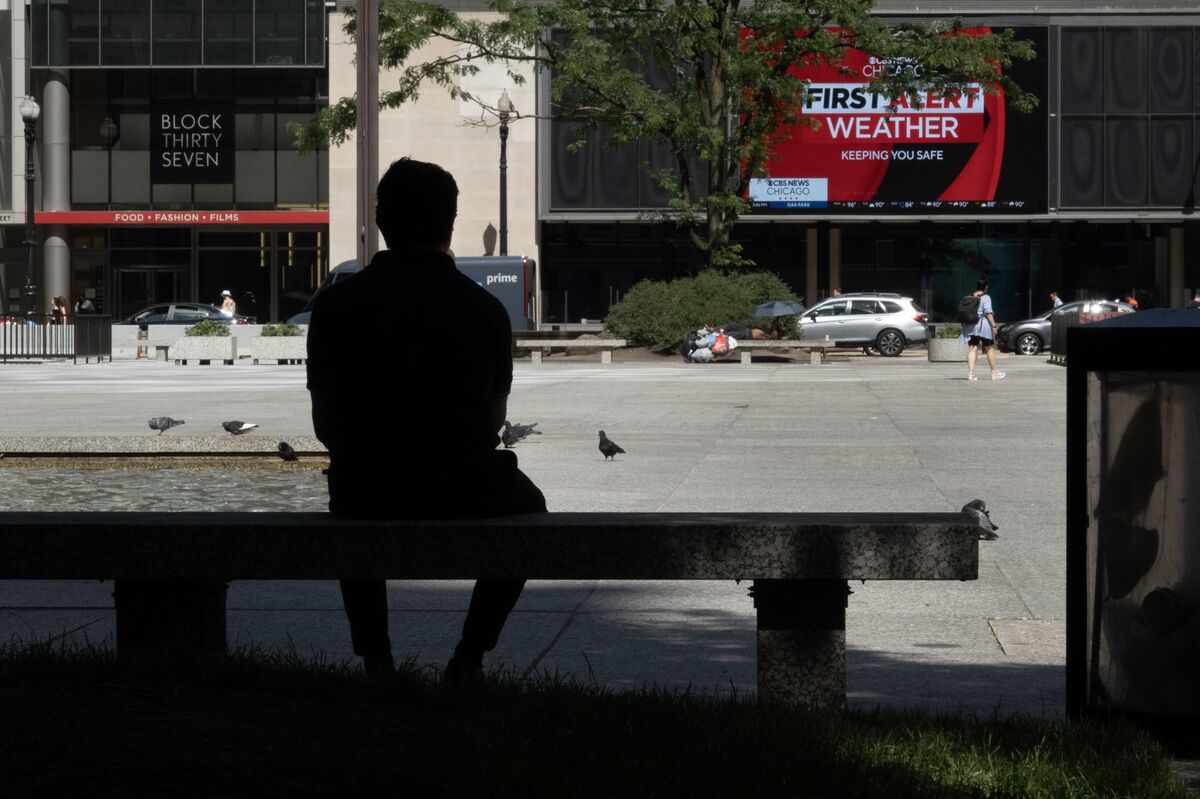
A person cools off in the shade at Daley Plaza in Chicago.
The fire threat across the US West will rise Friday and remain dangerous through Saturday for many areas, including Northern California, as lightning strikes risk igniting dry vegetation.
A Cal Fire firefighting aircraft drops fire retardant ahead of the Sandy Fire on May 18.
More than 63 million Americans in a Northeast Corridor that spans Washington, through New York, to Boston are threatened by wild weather on Thursday, including severe thunderstorms and damaging winds.
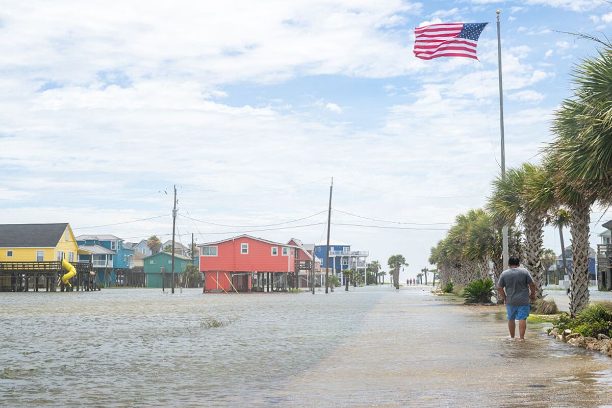
FREEPORT, TEXAS - JUNE 17: A person walks through a flooded neighborhood after Tropical Storm Arthur made landfall on June 17, 2026 in Freeport, Texas. A Tropical Storm Watch has been issued for portions of the northwestern Gulf Coast, stretching from the mid-to-upper Texas coast into Louisiana, as Tropical Storm Arthur brought heavy downpour and flooding. Tropical Storm Arthur becomes the first named storm of the Atlantic hurricane season. (Photo by Brandon Bell/Getty Images)
The US West and Gulf Coast are set to broil this summer while the rest of the nation may face dreary and cool days — thanks in part to El Niño.
The US Climate Prediction Center sees the western and southern US hot through July 10, with the Upper Great Lakes region and parts of the Northeast set for below-normal temperatures.
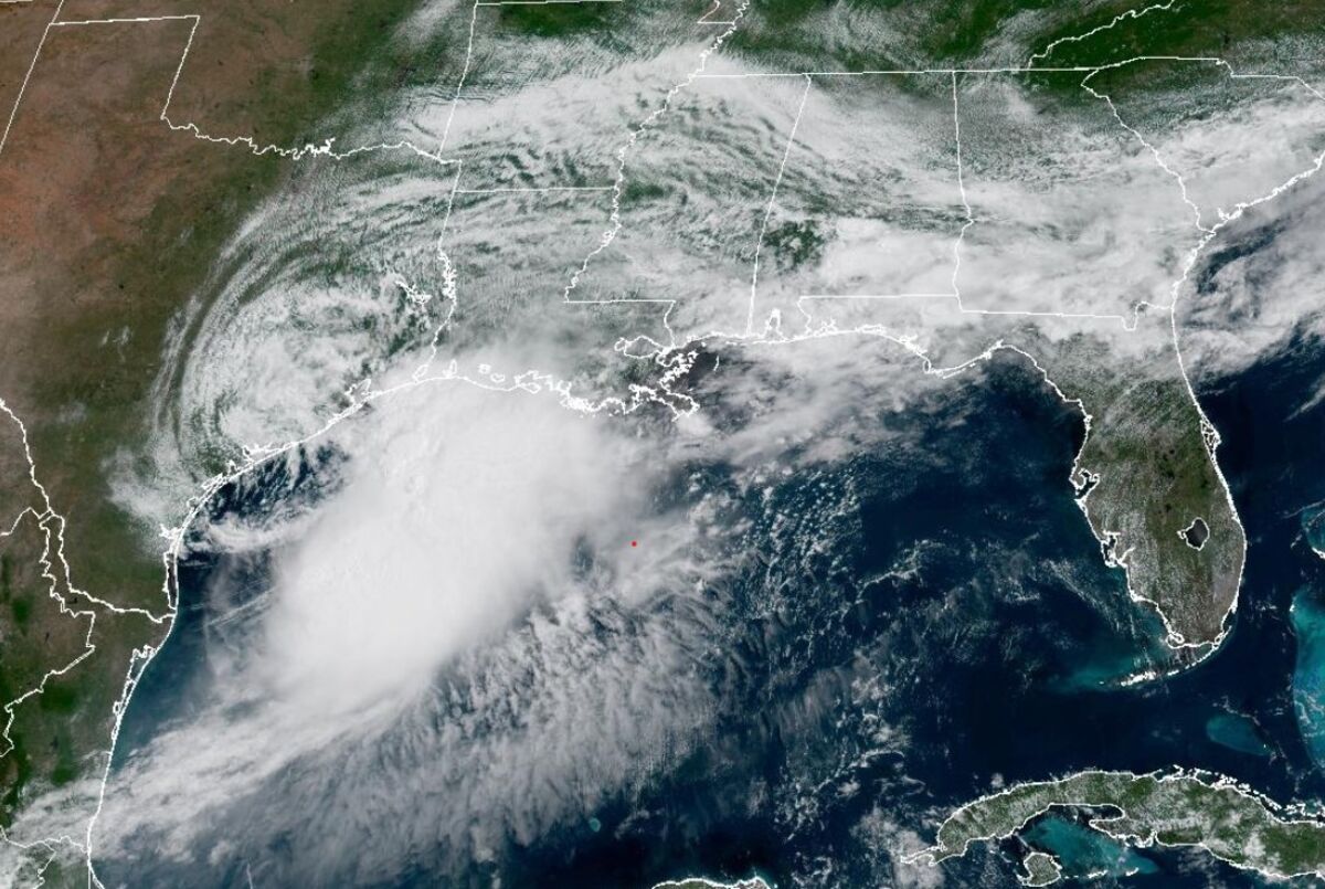
Tropical Storm Arthur is expected to bring “life-threatening flooding” throughout the southeastern US as it moves across Texas, leaving torrential downpours in its wake and possibly spawning tornadoes in the region.
Tropical Storm Arthur off the coast of Texas on June 17.
Tropical storm and flood warnings are in effect along the Texas and Louisiana coastlines as a weather system strengthens and threatens to bring torrential downpours.
Louisiana and Texas, including Houston, face several days of heavy rain, bringing a risk of floods as a potential tropical storm tries to organize in the western Gulf of Mexico.
A fan walks through the rain in Houston, Texas, on June 14.

 Anmelden